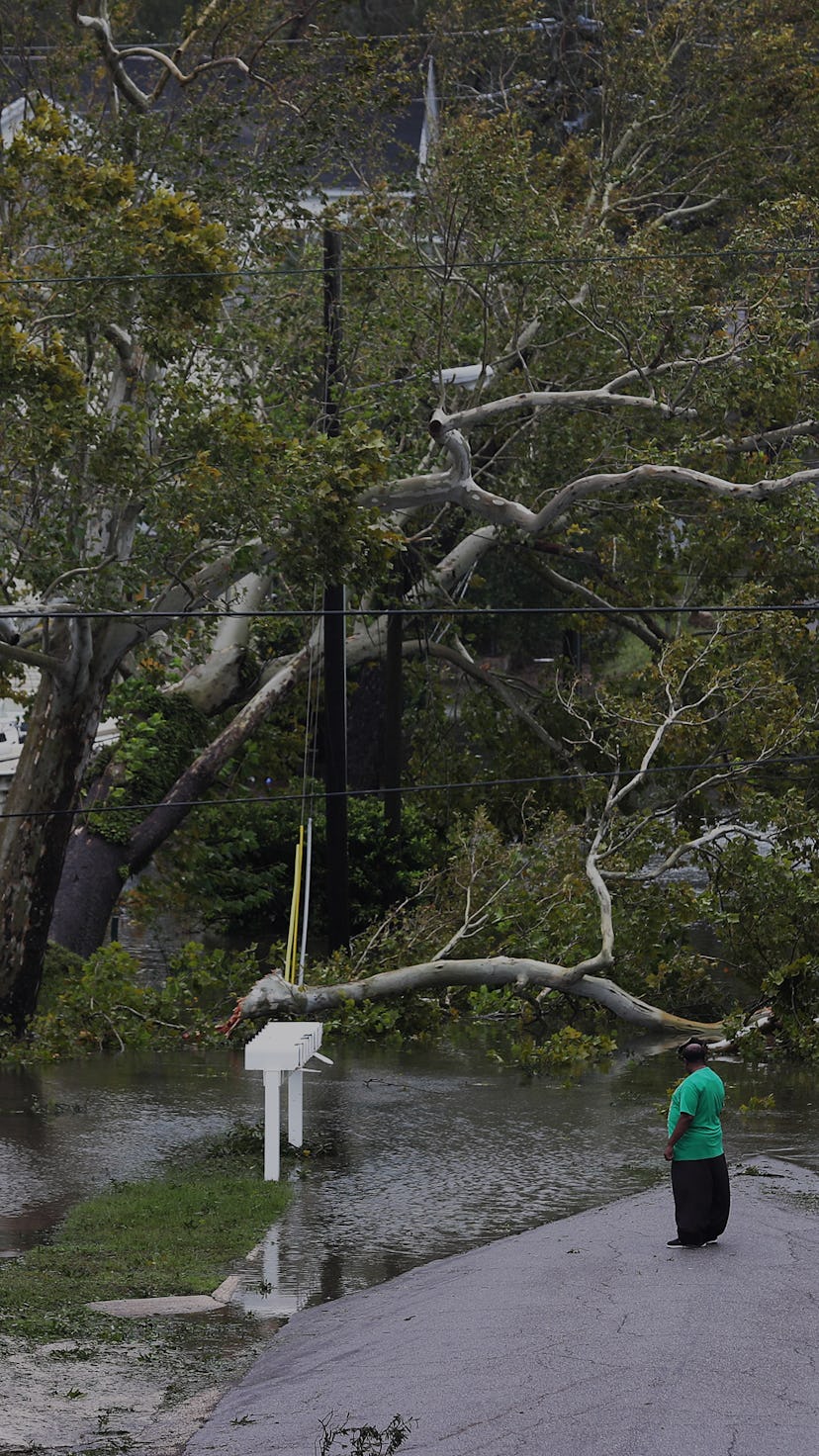
These 11 pictures show how destructive Hurricane Sally has already been

As the West Coast continues to deal with out of control wildfires filling the sky with smoke, the East Coast is facing its own devastating weather. Hurricane Sally made landfall this morning, and it has spent much of the day pummeling parts of Alabama and the Florida Panhandle with heavy rainfall and powerful winds. As the slow-moving storm lingers over the region, it brings with it the threat of unprecedented flooding that could force thousands of people from their homes.
Sally is not the strongest storm to make its way to the East Coast this hurricane season, but it has the chance to become one of the most destructive. The storm, which was considered a Category 2 when it first reached land early Wednesday morning, has brought sustained winds of over 70 miles per hour and gusts as fast as 105 miles per hour, according to the National Hurricane Center. It's also moving at a painfully slow rate, creeping along the coast at just five miles per hour and bringing with it a fury that is causing significant damage to the Gulf Coast.
More troubling, Sally has also brought extreme rains. The National Hurricane Center said downpours are expected to produce between eight to 12 inches of rain in much of the affected regions, with some areas at risk of getting hit with as much as 35 inches. Pensacola, Florida, a city of 50,000 with a metropolitan sprawl that has nearly half a million residents, has already been pounded with as much as 30 inches of rain. Per the National Hurricane Center, a water level station in the city reported that water was 5.5 feet above sea level, and locals have documented white-capped waves pouring through the streets. Part of the Pensacola Bay Bridge collapsed under the pressure of the flooding and most of the downtown region is underwater.
Pensacola may get the worst of the rain torrents, but it won't be alone in experiencing unmanageable amounts of rainfall. Charlotte, North Carolina, is projected to get up to 10 inches and coastal cities in Alabama are projected to experience more than 15. Meanwhile, cities more inland, including Alabama's capital of Montgomery, could see up to 10 inches. Storm surges that accompany the rainfall could leave some coastal areas with incoming water that reaches six to nine feet above sea level.
As the flood waters pour in, they bring with them devastation. Tens of thousands of people are stranded without power as the storm knocks out electrical grids. Nearly 300,000 people were without power in Alabama Wednesday afternoon, according to PowerOutage.us, and about 250,000 in Florida have also been left in the dark. Meanwhile, local governments have been trying to facilitate evacuations, though it is unclear how many people have managed to escape the region prior to the storm.
Sally is predicted to continue bearing down on the region through Thursday before eventually dying down as the weekend approaches. Before it dissipates, it is expected to produce record-breaking flooding and destruction that will stick with the affected cities long after the storm warnings are over.